Term 4
Our topic this term is entitled 'Shape Of The UK'.
Why do we live here? We live in the county of Kent – the garden of England, home to Charles Dickens and the main area for growing hazelnuts in the UK! The first ever James Bond book was written down the road in St. Margarets and we are the gateway to Europe being just 21 miles away from Calais in France. Where do other people live? Do you know anything about the other counties of the UK or how our country is divided up? As developing geographers, we will consider the shape of the UK as we travel from South further North. Along the way, we will practice our skills in map reading through the use of OS maps, Google Earth and atlases. You will be so inspired by the wonderful and diverse shape of the UK you will want to discover so many of these extraordinary places in the future.
-------------------------------------
The Shape of the UK
This term, Year 4 leave their historian hats at home and become geographers. We will be learning about both human and physical geography, working out why people would want to visit Kent and creating a tourist video for Dover.
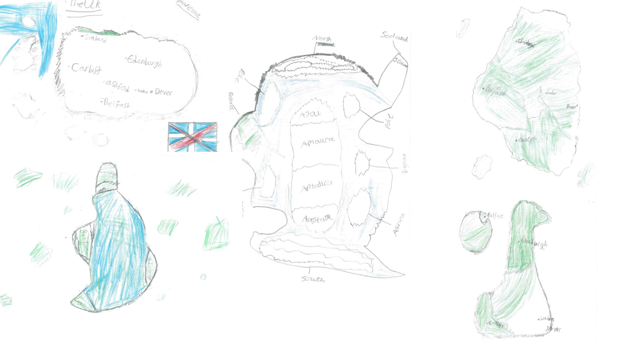
To start our topic, we used our knowledge of the world to draw what we thought the UK looked like. As you can see from the pictures, we had some interesting ideas! As we move through learning, the children will gain a much better understanding of how we look on a map and where we are in relation to the world.
If you have any interesting facts or figures about Dover which could help the children sell it to the world, please let us know!